
01634 751 002 Survey@OmegaGeo.co.uk
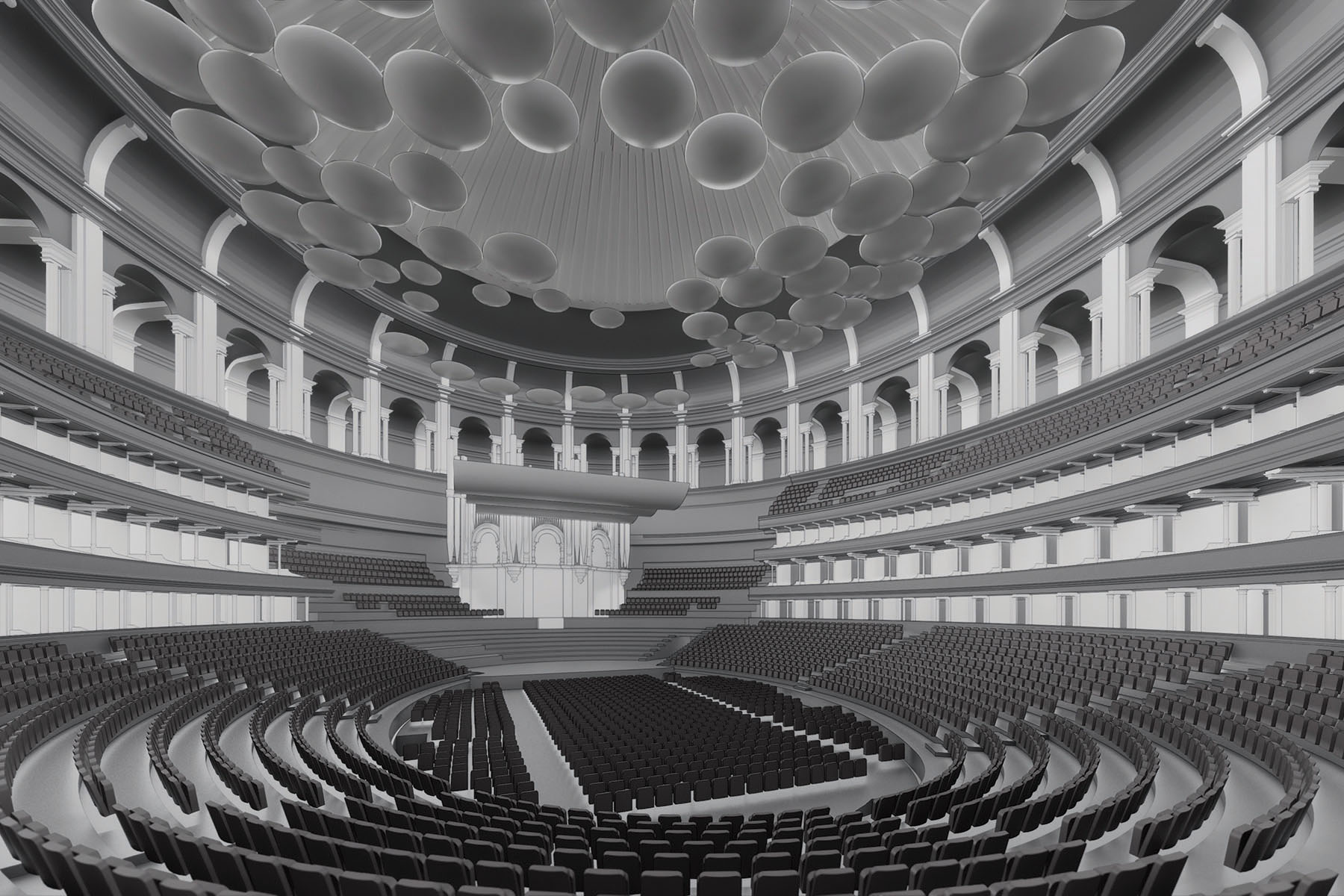
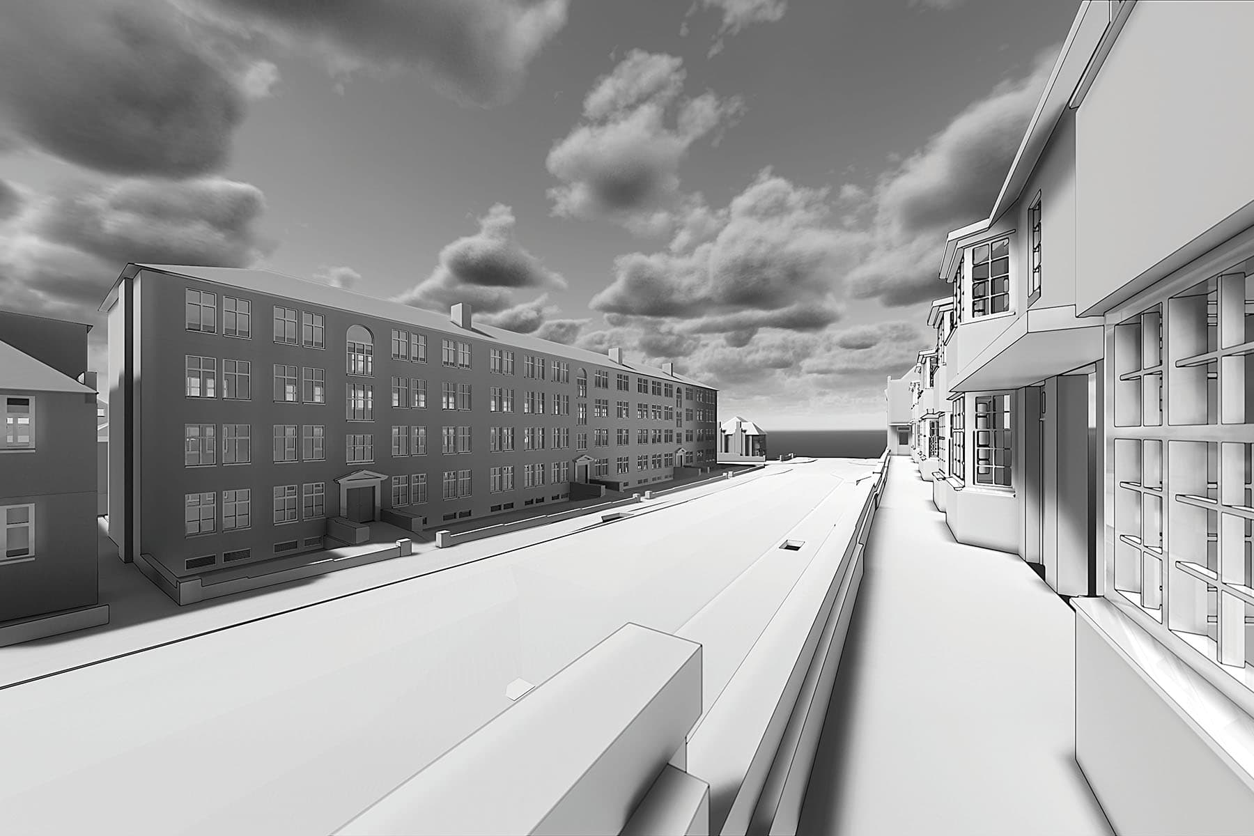
BIM
Our BIM models allow for expansion over the lifecycle of a project following creation of an initial 3D design. These models can be used for analysis of time, cost, light, quantity, and properties of components, in addition to geographic information.
BIM can be used to demonstrate the entire building lifecycle, supporting cost management, time/stage management and scope of works, construction management, project management and facility operation, in addition to current plan, section and elevation requirements.
Introducing BIM in the early stages of a project avoids unwanted delays and unnecessary costs. Drawing time and printing costs are reduced, calculations are faster and more accurate. Budgets can be set more accurately, and changes to materials or fittings made during a project that affect the budget are highlighted allowing them to be managed more efficiently.
Working to PAS1192 and in-house specification for LOD we will always try to recommend the level of detail and accuracy to suit your requirements.


Sectors we work with:
- Architecture
- Churches & Ecclesiastical
- Civil Engineering
- Commercial Property
- Construction
- Councils
- Defence
- Development
- Education, Schools, Colleges
- Health Services & NHS
- Heritage
- Highways
- Industrial
- Landscape Architecture
- Offices
- Property Sales & Lettings
- Railways
- Renewable Energy
- Residential Property
- Retail
- Waste Management
- Utilities & Public Services

