
01634 751 002 Survey@OmegaGeo.co.uk
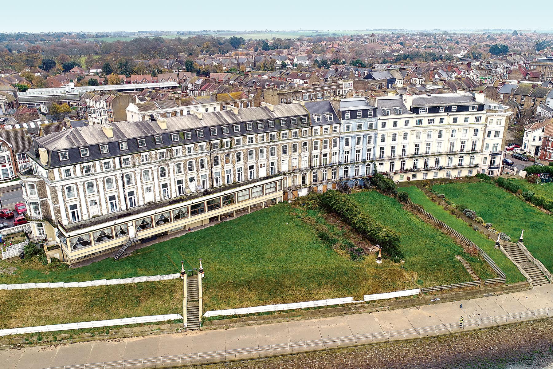
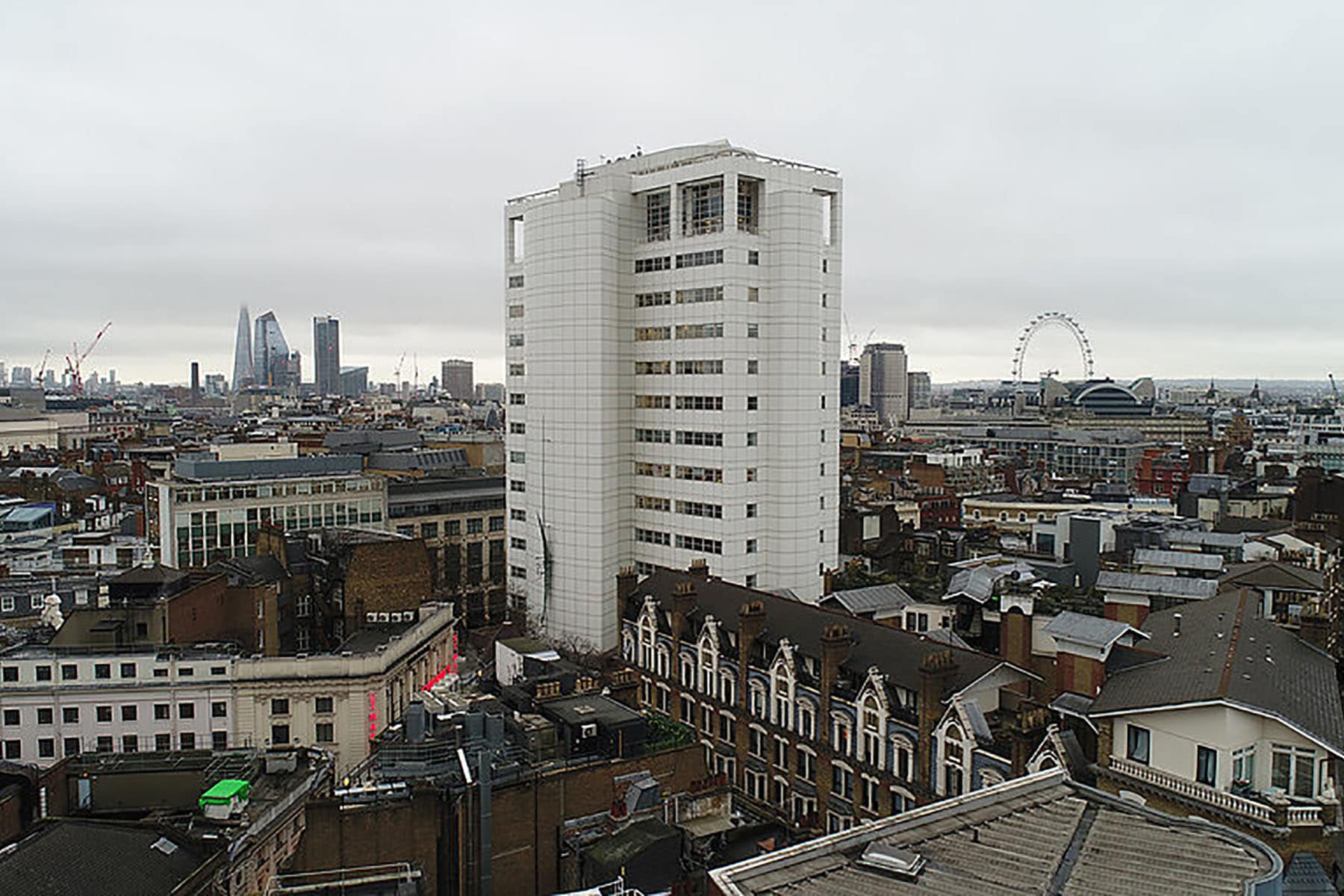
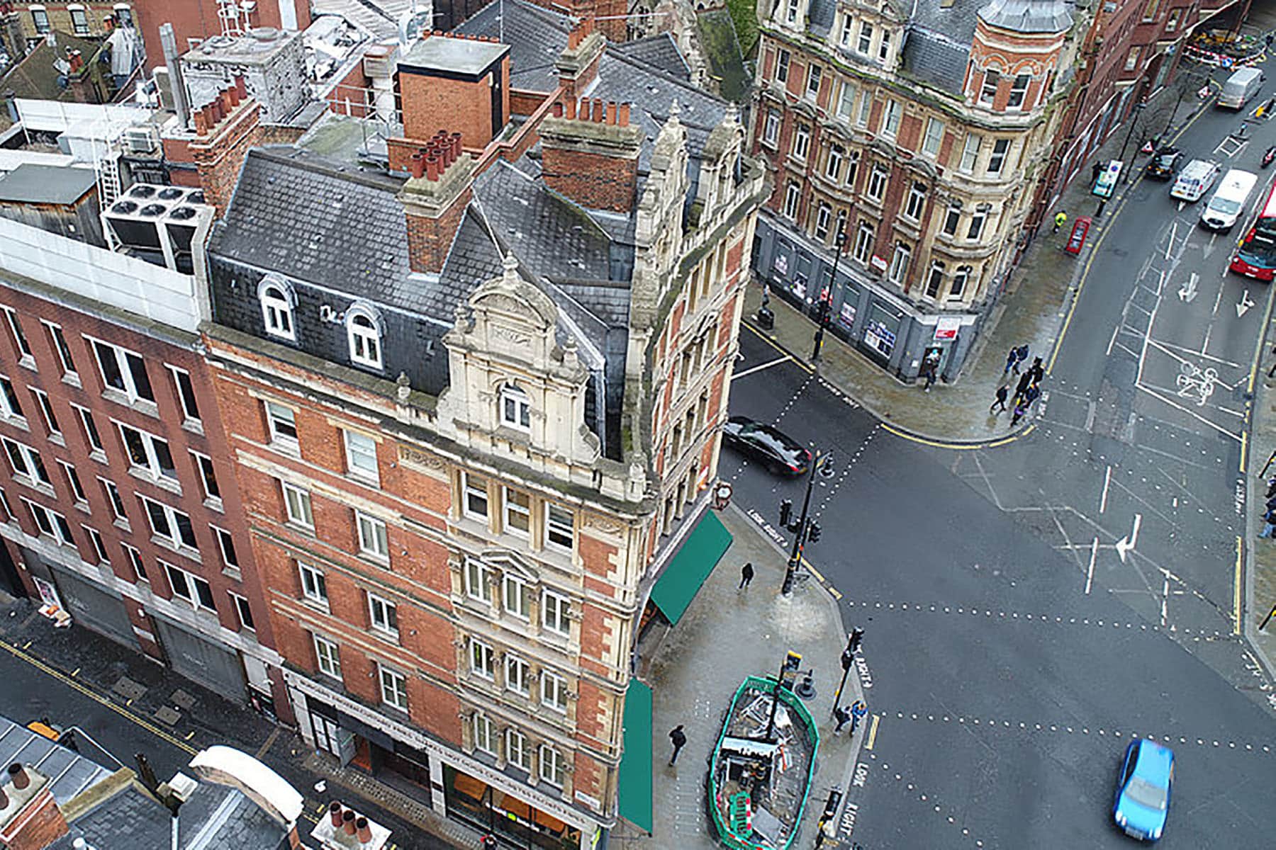
UAV / Drone Surveys
OmegaGeo is one of the few surveying companies that has its own in-house Civil Aviation Authority (CAA) licensed drone pilots, with Permission for Commercial Operation (PfCO) allowing us to operate and survey commercially.
We are fully insured and licensed to fly within 5m of buildings, allowing us to capture accurate, high resolution data.
The use of UAVs has complemented our workflow in such a way that we are able to survey dangerous, inaccessible, hard to reach locations such as roof tops, railway lines, and bridges with ease.
The data captured is merged with our traditional surveying information allowing us to build up a complete and accurate understanding of a structure or open space, while also reducing the health and safety risk to both the public and staff alike.
Each project is undertaken with the strictest health and safety assessment, also informing any local air traffic control of our works. All of our pilots possess a Remote Pilots License from a CAA approved training provider as well as the necessary medical and eye exams.


Sectors we work with:
- Architecture
- Churches & Ecclesiastical
- Civil Engineering
- Commercial Property
- Construction
- Councils
- Defence
- Development
- Education, Schools, Colleges
- Health Services & NHS
- Heritage
- Highways
- Industrial
- Landscape Architecture
- Offices
- Property Sales & Lettings
- Railways
- Renewable Energy
- Residential Property
- Retail
- Waste Management
- Utilities & Public Services

