01634 751 002 Survey@OmegaGeo.co.uk
Underground Utility Surveys
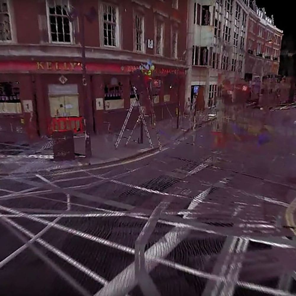
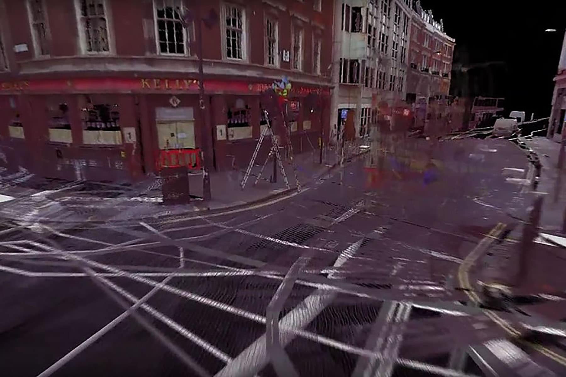
Working to PAS128 and using state of the art GPR (Ground Penetrating Radar) and radio detection, services hidden beneath a site can be found and traced before being surveyed onto the topographical survey to create a full site investigation package.
This information gives designers and engineers the edge by knowing exactly what services are beneath the area for the new development, thereby allowing forward planning and strike avoidance before works begin.
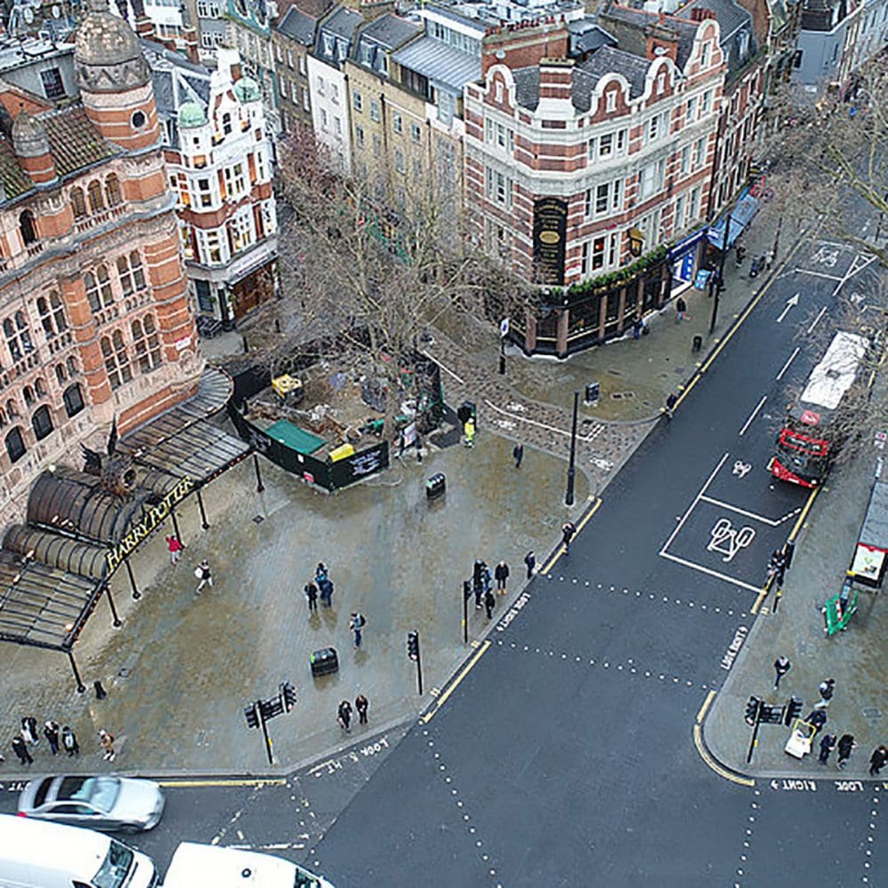
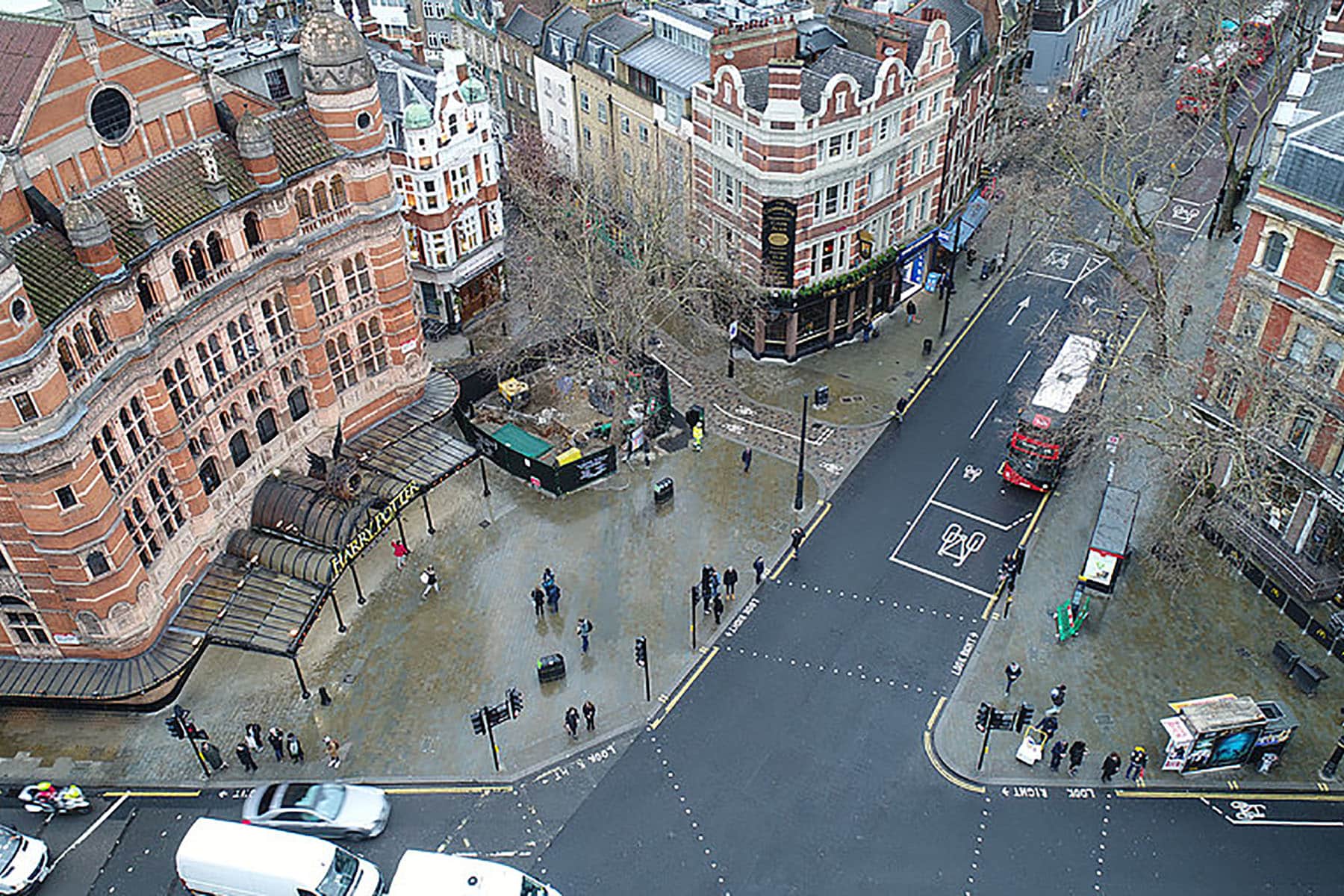
Traced services can be delivered as a 2D site plan noting the approximate depths, or modelled in 3D and delivered as part of a 3D topographical Survey, or 3D BIM model.
In addition to these deliverables, OmegaGeo are able to provide CCTV reports and videos showing the condition of pipework.
Sectors we work with:
- Architecture
- Churches & Ecclesiastical
- Civil Engineering
- Commercial Property
- Construction
- Councils
- Defence
- Development
- Education, Schools, Colleges
- Health Services & NHS
- Heritage
- Highways
- Industrial
- Landscape Architecture
- Offices
- Property Sales & Lettings
- Railways
- Renewable Energy
- Residential Property
- Retail
- Waste Management
- Utilities & Public Services